The Whangie & Queen’s View
- Sarah

- Mar 4, 2023
- 2 min read

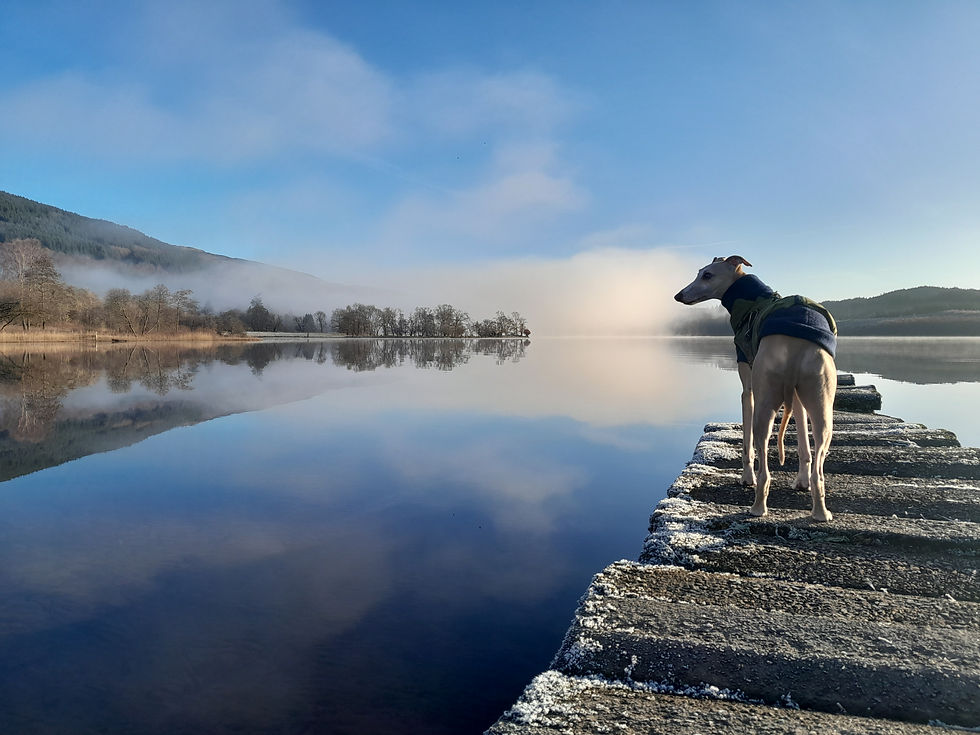
‘Queen’s View’ of Loch Lomond and The Trossachs, February 2023
What’s a Whangie? Good question.
The Whangie is a bizarre rock-feature in the Kilpatrick Hills, and has wonderful views towards Loch Lomond, the Highlands and the Campsies. (Walkhighlands)
I’d been told about it by a friend at work and thought it sounded rather fun: a straightforward march up a very do-able hill with a cracked rock at the top that you can walk through – about 4.5km up and down.
She was right about the hill, although I’d recommend you head up during a dry spell, as it was super-boggy and muddy when we tackled it. But she was wrong about the top. Up we went, heading for the summit of the hill, with no Whangie in sight.
Not the Whangie
Thankfully, just before we squelched off further uphill in what would have been entirely the wrong direction, we met a lovely group of girls who gave us the essential info that, far from being at the top, the rocks were “round the back”.
After a few minutes of further squelching, we caught a glimpse of the start of the rock formation – and rather a nice view towards Loch Lomond:

If you approach from the ‘back end’ like this, it is a bit of a sketchy path through the rocks. The Sausage was not keen at all and I had to pick him up and humph him through a couple of gaps. Somehow – and it was definitely more by good luck than good management - we both emerged intact.

Emerged intact
Once you’ve navigated through the Whangie itself (or scuttled around it) and then look back, you can see that the best way to approach is from the front. Note to self for next time.


And I think we will go back. Although there are plenty more striking rocks in this fair land, the view across to Loch Lomond, the Trossachs and the Campsie Fells is really rather lovely. Plus, we need to get to the top of the hill...

Loch Lomond


LOCATION INFO
Getting there: From Stirling, follow the A811 towards Loch Lomond. At Dryman, stay on the main road, which becomes the A809, heading for Glasgow. From that point, it’s around 8km to the car park.
From Glasgow, follow signs for Bearsden & Milngavie, then head for the A809 towards Loch Lomond. The car park is about 10km north of Bearsden.
Sat Nav: G63 9BA – That’s the nearest postcode, but you reach the car park about a mile earlier.
OS Landranger map: 64 GLASGOW Motherwell & Airdrie
Terrain: Muddy paths, rocks and grassy hillside – decent walking boots.
Nearest facilities: Just a couple of kilometers down the road towards Glasgow, as you reach Auchengillan, turn right and head to Edenmill Café & Farm Shop. We haven't been there, but it looks very handy...and who doesn't love a post-walk mooch around a farm shop? Not sure if they welcome dogs, but since they accept children, I presume dogs are a given ;)


Nearest facilities


Comments