
Dunnottar Castle, Aberdeenshire - a medieval sight to behold!
- May 26, 2020
- 2 min read
Updated: Jan 2


Outside the writing & editing, I do a bit of work for a charity called LifewithArt, which runs free art workshops for community groups. One of their buildings is in Aberdeen, so Ledi and I head up there once a month and then on the way back if (a) the weather’s nice and (b) the car park’s not rammed, we go for a ramble along the clifftops at Dunnottar. So far, (a), (b) and that particular day of the month have been in joyous harmony just twice!
Sidenote: I have to be honest, I’m not a massive fan of the North East coast. I find it a bit flat, dull and cold - I much prefer the North West with its pretty beaches, mountains, wiggly roads and something jaw-droppingly lovely around almost every corner. However, I’ll make an exception for Donnottar because it is pretty spectacular as far as ruined medieval fortresses go.

Taken from cliffs above Old Hall Bay


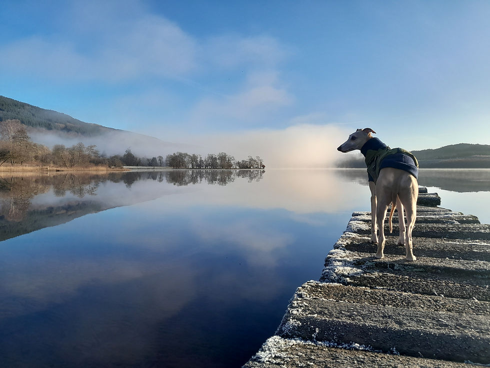
From the main pathway, you can go down to the beach, across to the castle (ticketed entry) or along the cliffs on either side. If you go left, it takes you towards the war memorial and Stonehaven; right is a less official stroll and that’s where we go, mainly because they ask that dogs are kept on leads around the castle and I figure if we go ‘off piste’, Ledi can go off-lead. That being said, it is a good idea to keep hounds on leads at the clifftops. I love that Ledi loves a view, but it does give me the willies when he gets near the edge.


The last time we visited, in September, it really was a glorious day and Ledi’s very happy to lie in the sunshine with the sea breeze wafting over him. Next time we go, I think we’ll make a good half-day of it and take a blanket, a little picnic and a book.

LOCATION INFO
Getting there: From the A90 north, about 20 minutes south of Aberdeen, take the A92 signed Stonehaven & Banchory. Stay on the A92, signed ‘Coastal Tourist Route to Dundee’, for around a mile, then turn left at the sign for the castle and follow the lane to the car park.
Sat Nav: AB39 2TL
OS Landranger map: 45 STONEHAVEN & BANCHORY
Terrain: For the able-bodied and sure-footed. Rough pathways and steps going both down and up to the castle. Decent walking boots advisable.
Nearest facilities: There’s often a snack van in the car park, otherwise it’s BYO sandwiches or hop into Stonehaven.

All maps in the blog are from Google Maps
Luca, 2025


Ledi, 2019


#dunnottar #dunnottarcastle #aberdeenshire #stonehaven #coastalroute #cliffs #castle #castles #medieval #lifewithart #aberdeen #highlandsighthound #ledi #luca #whippet


Comments